Bank holiday changes to council services
Walk 12 – Hangleton to Devil’s Dyke Loop
Walk from Hangleton to Devil’s Dyke to enjoy spectacular views. Find details about the walk and directions from the nearest bus stop.
About this walk
This route starts of the Dyke Railway Trail and takes you up towards Devil’s Dyke (National Trust site). The Dyke Railway Trail follows part of the route taken by the old Dyke Railway Branch Line. The line opened in 1887 to carry passengers from Hove to the beauty spot of Devil’s Dyke. When the railway closed in 1938 the line lay empty until the Dyke Railway Trail was created in 1988.
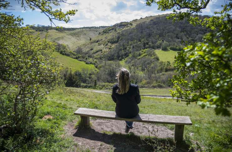
Much of this route is on well surfaced tracks (tarmac and gravel), a section of grass verge path and farm tracks. Take a short diversion to see the top of Devil’s Dyke – at nearly a mile long, the Dyke valley is the longest, deepest and widest ‘dry valley’ in the UK. Legend has it that the Devil dug this chasm to drown parishioners of the Weald.
The ramparts of the Iron Age hill fort can be seen to south side. There was also a curious Victorian funfair here. The area offers stunning panoramas.
Map of Hangleton to Devil’s Dyke Loop
There are 2 maps you can use to navigate this route.
You can download and:
- print a detailed PDF copy of the map
- sign into the free walking Komoot app to use the map below if you prefer to use your smartphone
Directions
Bus numbers 5, 5a, 5b at Hardwick Road stop
- At the bus stop turn right and continue to junction of Hangleton Way and Hardwick Road. Cross over the road and turn left towards the Downsman Pub, just past the pub you come to the Dyke Railway Cycle Trail car park.
- Turn right into the car park and continue along the surfaced trail crossing the footbridge over the bypass.
- Continue along the surfaced track up the hill passing through the gate.
- Continue along the track to the next gate. Turn left, through a squeeze stile, onto a field edge path.
- Continue down the hill to a gate, go through the gate and follow the path past a dew pond on the right, back up to the top a hill.
- At a four way junction turn right, through a gate onto a double fenced track. Continue on this path, through two more gates onto a farm track.
- Continue straight up to Devils' Dyke approach road. Cross the road with care and turn right taking the road side path. Cross over the Devil's Dyke Road to continue straight until you see a bridleway signpost on the opposite side of the road (right turn).
- Take this bridleway track and follow it down towards Brighton & Hove Golf Club.
- After reaching the club house you will see a gate on your right. Go through the gate and on to the golf course, following the waymark posts with the blue arrows to the left side of the golf course.
- Pass through a gate and continue straight ahead until you reach a fence line. Turn right and follow the path back to the footbridge.
- Turn left over the bridge and retrace yours steps back to the bus stop.
Useful information about this walk
Distance
5.6 miles
Estimated time
2 hours and 30 minutes
Bus services
- Number 5
- Number 5a
- Number 5b
Bus stop
Hardwick Road stop
Accessibility - surfacing and obstacles
A large section of this walk is along the Dyke Railway Trail is hard surfaced (sections 1 to 4 can be treated as a there and back linear walk). The rest of the walk is grassy paths, bridleway gates.
More information about our walks
Working landscapes
Many of these walks take you on paths across working farms.
To enjoy it respectfully and responsibly:
- keep your dog on a lead or under close control
- bin your litter and dog poo
- do not disturb livestock and wildlife
- keep to footpaths, bridleways, byways and access land (as directed)
South Downs National Park
Many of these walks are based on routes that were published by the South Downs Conservation Board, now the South Downs National Park.
Go to their website for inspiration on walking routes in the Downs.